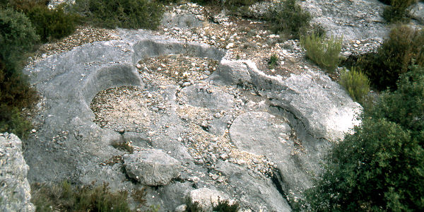
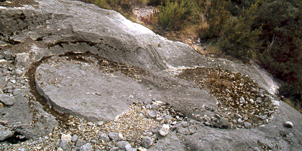
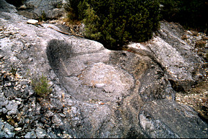
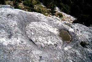
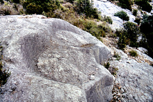
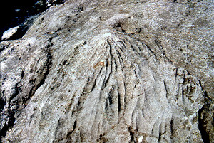
Mills in Alto Aragón - stone quarry

Colungo

Colungo is situated near Alquézar that is easily reached from Barbastro taking the road along the Río Vero. Nearing Alquézar You'll first find the branch to Buera; then a while further turn right to Bárcabo and Colungo. Why not take a look at the Puente de la Albarda first and then continu to Colungo? In the village drop your vehicle at the parking lot 
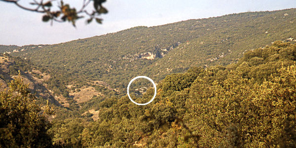
beside the road and find the start of the trail to the Portal de la Cunarda and walk the path. You may also start at the spot where the path crosses the road a bit past (north of) the village. 
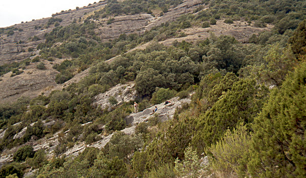
You'll cross nice terrain with many Strawberry trees (Arbutus unedo) and eventually find the quarry at the right side not too far from the path.
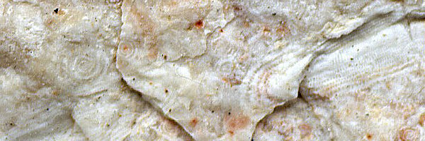
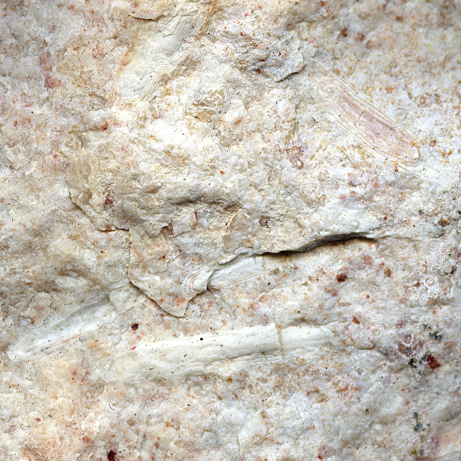
 The quarry is named cantera de Aruellos.

Pictures: 30.x.2011

(1) Situation of the quarry in the landscape — Lat: 42°11'42.23"N / Lon: 0°4'24.82"E

(2) Overview of the quarry which runs from the people down to the left

The quarry is not very big and consists of two clusters of a handful of prints (3, 7) in the upper region and several isolated spots (5, 6) hidden further down the slope between the shrub.
In my eye the same type of rock extends well beyond the zone of where the prints are and I did walk the wide surroundings but I couldn't locate any more traces of stone extraction.
I counted twelve prints and all measured between 180 and 190 cm in diameter. This fits well with the size of the stones (∅=160cm) found in oil mills in the region (e.g. Buera, Banastón)

(3) A cluster of four prints in the top region of the site.

(4) More prints further down the slope.

(5-6) Some more spots where a stone was extracted

(7) Extraction front with two layers.
(8) Sharp erosion ridges on the surface

(9) The rock is full of former life (bigger image)

Previous site — Quarry TrailNext site.
Path: Home / Alto Aragón: old mills / Quarry of Colungo
Introduction
Learn about the parts of a mill
Visit the mills; catalogue
Literature and other websites
© and e-mail: