Mills in Altoaragón - harinero

Caballera

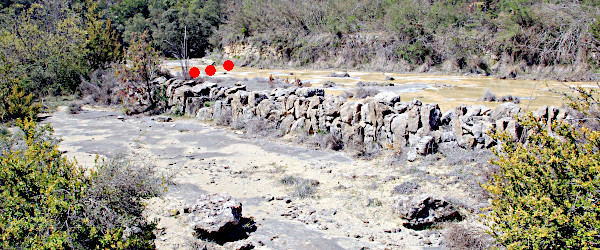
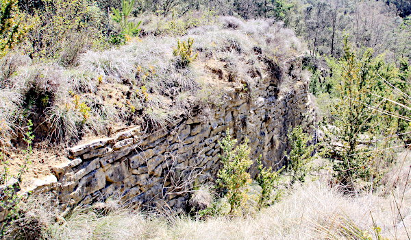
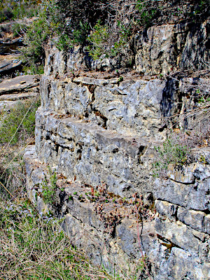
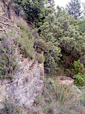
Caballera is a village in the Sierra de Campanúe not far from Santa Liestra. The mill is near the confluence of the Barrancos de Bobatialla and Caballera and is in our opinion best reached from Troncedo, which is situated on the road between Tierrantona and Graus. From Troncedo it is a very pleasant walk of about 5.5–6 km. Try to find a GR-1 signpost in the village center of Troncedo. Follow the path to the north-east towards Formigales. You'll walk on an old cabañera and after a bit more than 1 km reach a small pond fed by a well. Straight on; do not take the track which emerges from the right. A bit more than 2 km away from the pond you'll reach a branch to the right (and South). 
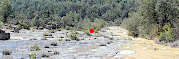
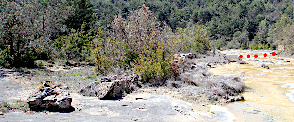
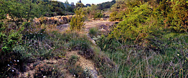
Follow this sand road and after quite some time you'll see the stony flats in the valley at your right side. Work your way down from the curve in the road at about 2.5 km from the branch.

Visited: 03.vi.2003, 15.iv.2017

(1) The flats of the Barranco de Bobatialla; red dot shows position of boulder left in (2).

The mill is, invisible from above, situated below the steep ridge of the huge stony flat of the Bco de Bobatialla, which just a few meters further on forms a cascade and drops into the Bco de Caballera.
How exactly the mill received its water is difficult to understand. Due to the slope of the stone slab, the river only carries water on its right bank (1). The lowest part of the river bed is divided in two by a dike (2, 3) built of stones.

(2) Red dots show position of holes in river bed.

In the right half we found a row of holes in the rock, which indicate that there must have been a dam at that place (4, red points in 2, 3). Similar rows can be found in Santa María de la Nuez, Puyarruego, Lecina, and in Las Bellostas were they are really impressive with diameters up to 70 cm.
So on the right there must have been a mill pond. Problem is that we couldn't find any connection with either the existing mill pond at the left site, nor the place were the cárcavo is. It is not impossible though that there may have been a channel which is now deeply hidden under the vegetation.

(3) Red dots show position of holes in river bed.

(4) Row of poles for a dam.
Sizes from foreground to background: 30×25cm; 27×27cm; 27×24cm.

(5) Mill pond at right.

(6) Mill pond at left. Person is walking on the wall shown in (7).

The mill pond is rather large and deep and makes optimal use of the terrain (5, 6) in such a way that only the part adjacent to the mill had to be built (7).
That part of the wall that bordered the mill is built in steps of three layers of stones (8). On its sides, the wall is straight without special features (7).

(7) Part of the mill pond closest to the mill.

(8) Notice the stair-shaped wall of the pond.
(9) Stair shaped wall with mill stone next to it.

We have seen a similar feature in the mill of Chimillas where this part of the wall of the mill pond extends into the mill, or more precisely into the kitchen of the miller. It may have been an early form of a refrigerator.

(10) One pair of stones: runner ∅ 138 cm, 27 cm thick.

(11) Cárcavo full with decaying plant material.

Path: Home / Alto Aragón: old mills / Caballera
Introduction
Learn about the parts of a mill
Visit the mills; catalogue
Literature and other websites
© and e-mail: