Path: Introduction -
Visit the mills; catalogue - Abellada

Mills in Altoaragón - harinero
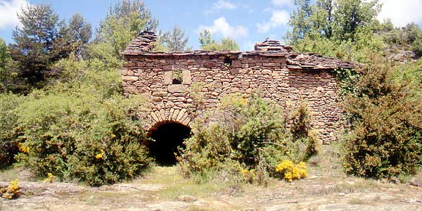
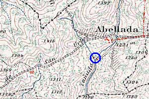
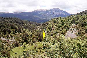
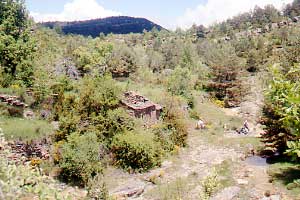
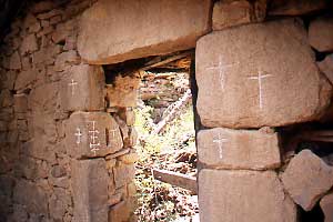
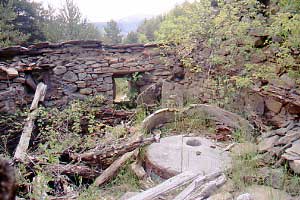
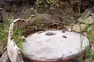
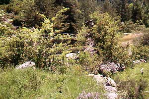
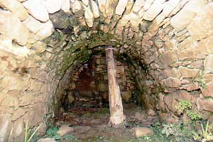
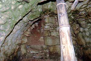
Abellada

Abellada definitely is a remote spot. Like so many
old villages in the Guarguera.
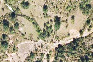
•1) From Sabiñánigo drive south to Huesca until you reach Lanave. Turn left where Boltaña is signposted. Soon the Molino de Villobas will be indicated and a bit further on the road towards Nocito. •2) You could also from Boltaña take the road to Lanave. Cross the Río Ara and a long and winding road will bring you to the Molino de Escartín. Look out now for the Nocito branch. From the point where You'll leave the main road it is 12 km of dirt road (make sure you have enough clearance!) to Nocito where Bara is signposted. •3) There is also a metalled road from the Puerto de Monrepos over Belsué to Nocito.
From Nocito less than 4 km of good gravel road will lead you to Bentué de Nocito, the starting point of an entertaining walk through a lovely environment.
The mill is on the Barranco de Abellada which flows to the Río Guatizalema.
Pictures: 23.iii.2008