Path: Introduction -
Visit the mills; catalogue - Sagarillo

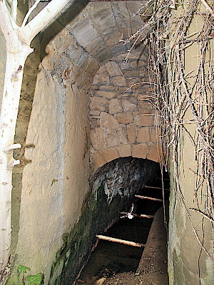
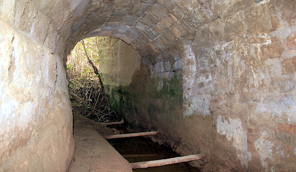
Mills in Alto Aragón - central eléctrica
Sagarillo

Sagarillo is a former village in the
county.
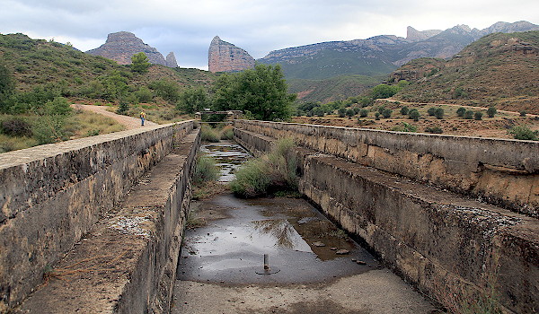
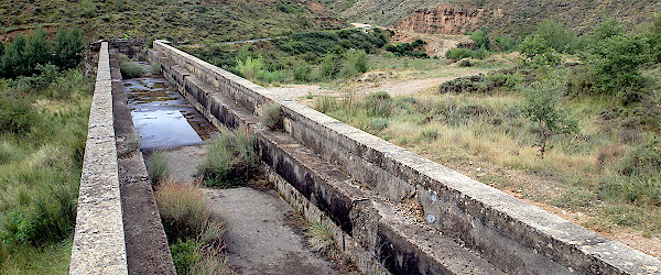
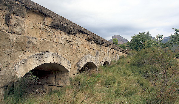
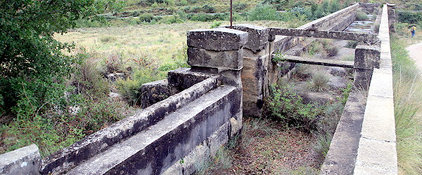
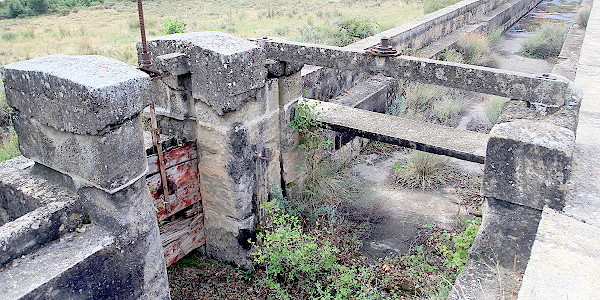
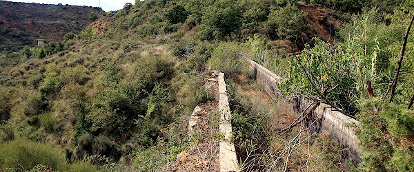
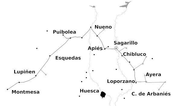
Sagarillo is located at the northern end of the new embalse the
on the .
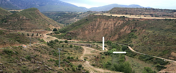
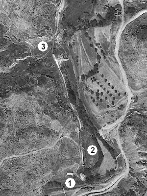
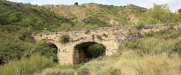
The site is probably best reached from . From Huesca city take the HU-324. Then at the church of Apiés
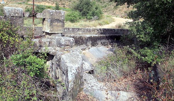
turn to roughly the East in a gravel road —the Camino de Liendas— which will first cross the
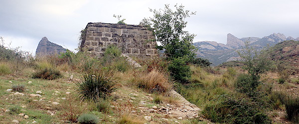
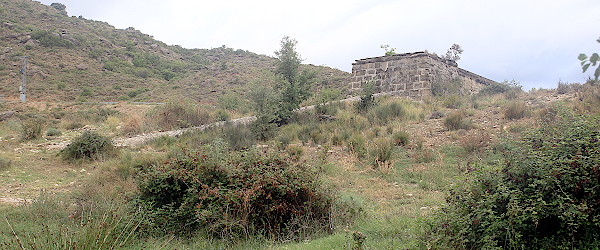
Barranco de Barzón and then go for a more southerly course. Drive as far as you wish, but a good spot to park your
vehicle may be near an old abandoned agricultural complex. Walk the rest of the way and soon you will have the view
of (1).