Mills in Altoaragón - harinero
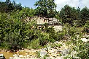
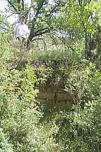
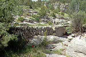
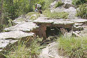
Letosa

Letosa is situated deep in the Parque de la Sierra de Guara. From L'Ainsa drive south to Guaso and then until Arcusa. After Arcusa you'll pass the branch towards Mondot and soon reach the crossroads where Paúles is signposted. Turn right and at the first houses of Paúles again right towards 
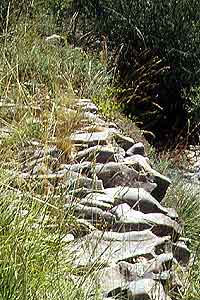
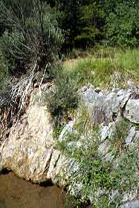
Las Bellostas. You'll pass the Molino de Pedro Buil, the Bordas de Sarsa da Surta, the (invisible) Casas del Gallinero. The road goes uphill, turns right 
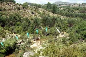
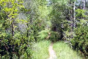
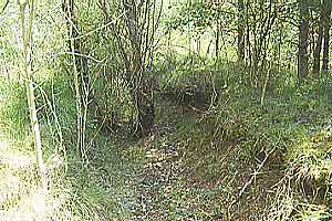
and becomes level again. That's the point where you are crossing the meridian of Greenwich, thus leaving the eastern hemisphere. Look for a cart track leaving the road 
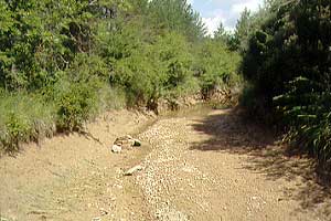
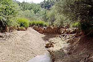
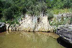
and going uphill. At the same spot is a small place where you can park the car. Make sure to have a map and sufficient water with you. The mill is about a two and a half hour walk away. This is also an excellent walk for butterfly enthousiasts and plant lovers.

Pictures: 30.VII.2004

Mill next to the Río Mascún. (1)
Follow the track to the right. You'll soon (10 mins) reach a ruin at a crossroads with arrows pointing to several places. Bagüeste is clearly visible in the west. Walk the steep path down into the valley of the River Balced. Cross the river and stick to the eroded track, which is also quite steep, until you'll arrive at the flats of Bagüeste. Stay below the village and take the maintenance road leading you down once again. You'll soon find the markings of the GR-1. Follow the path down towards the Río Mascún. Step over the river. From that point leave the road and trace the water stream down. You must reach the dam not many minutes later.

Embalse (=pond) (2)
Dam seen from the pond (3)

Azud (=dam) (4)
Channel with dam; Letosa in the background (5)

The mill of Letosa had a double system to collect and stock water. First there was a dam across the Río Mascún. You'll see its effects while you are approaching it: the river gradually broadens into a long and shallow pond (2). The place is not perfect. It must have been a lot of hard work to build the dam from scratch. Notice that many irregularly shaped natural stones were applied (3, 6, 7). In most cases the dam is built with more regular blocks (e.g. Naval)
From the dam (white arrow) a long channel (blue arrows) longs the right bank of the river and brings the water to the second reservoir leaning against the back wall of the mill much farther away.
The tap is at the right bank (in the shadows of picture 3). The canal then after a short stretch has to cross a feeder of the Río Mascún (3th & 4th arrow from the dam). The channel there is covered with flat stones also forming a bridge over the tributary. Look at pictures 9 & 10 to appreciate the solid construction work done with irregular stones.

Azud (=dam) (6)
Azud (=dam) (7)
Wall of reservoir
next to the mill (8)

Water supply channel (9)
Detail of channel (10)

The canal never lies more than a couple of meters above the riverbed and is for the first 100 m or so accompanied by a path running on the wall (11). Then after a huge boulder, the channel turns away from the river and gains depth (12) until it gradually morphs into the second reservoir.
The embalse is resting against the back wall of the mill (8). The reservoir is about 2 m deep and is overgrown with scrub. The walls are constructed with regular blocks. They won't survive for very long: the first stones are falling off already.

Access path next to supply channel (11)
Last stretch of waterchannel (12)


Path: Home / Alto Aragón: old mills / gristmill of Letosa
Introduction
Learn about the parts of a mill
Visit the mills; catalogue
Read more about mills
© and e-mail: