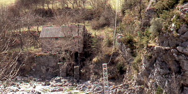
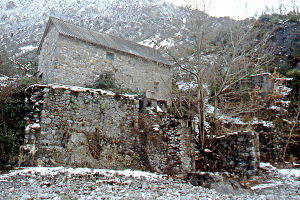
The mill of Salinas de Sín was a grain mill,
and a saw mill and also a power station and consisted of two adjacent constructions.
The second part which doesn't exist anymore was erected on top of the columns which are protruding into
the river bed.
It is probably best to start with a walk around of the site in order to
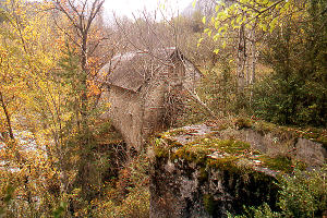
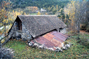
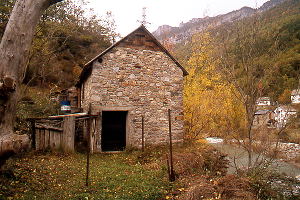
better understand the situation. Pictures 2 to 5 cover the construction from every side.
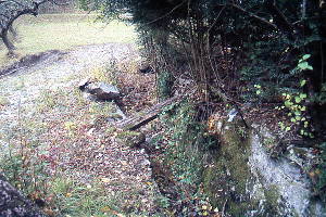
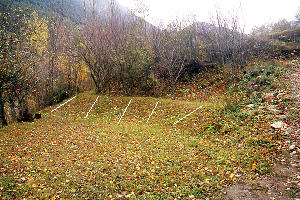
Picture 2 is taken from inside the channel which is rounding the cliff in pict. 1. This canal features a short and broad side branch (2) reminding of a cubo but it is not
clear how the connection (if there was one) was made with the mill. It is not the drain
which is visible in the old pict. 6 (compare with 5).
The cárcavo is situated at the right side in (1) and therefore
the mill proper must have been located in the section nearest to the camera in (3).
There was probably a separate entrance from the rest of the building (4). The huge window from (6) is now closed without leaving a trace.
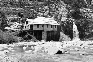
(6) Molino de Salinas — Archivo Iberdrola
The situation is probably best to
appreciate from the river bed. There is a easy path running down and then it's only a few steps
back to the spot of pict. 5. Page 249 of the book
Miradas desde Tella
(
†) carries a nice picture of the site when the mill was still running.
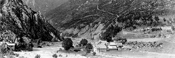
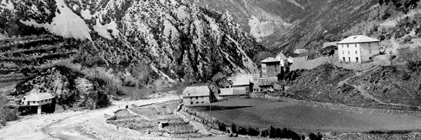
Pictures 6-8 come from the Iberdrola Archives and were taken for
the Sociedad Hidroeléctrica Ibérica. They are dated between 1919 and 1934.
Picture 7 is obviously several years earlier than 6 and 8 and shows that the
stilted annex was rebuilt in the meantime.
The description coming with the pictures says:
Opposite of the village, at the other
side of the river, are the buildings of the saw and the grain mill which — from 1918 or 1919 onwards — was converted into a small electricity station by the Sociedad Hidroeléctrica Ibérica. The station
provided for SHI's installations during the construction of the hydro-electric system of the Río Cinca.
This leaves me a trifle suspicious about the date ranges.
The last stretch of the canal (9, 10), although severed
by a gravel road, is clearly defined and can be followed along the hill side for quite a while before
it is eaten away by the waters of the Río Cinqueta (tributary of the R. Cinca). We could therefore
not locate the beginning with the azud.
† Lasaosa Susín, Ramon y Miguel Ortega Martínez — 2003 —
Miradas desde Tella
Ayuntamiento Tella-Sín, E-22336 Lafortunada (Huesca) - ISBN: 84-88518-61-7


